


How to view zoning information in the commune most accurately.
How to view land use planning information at the commune is an important step that helps land buyers check legal status and avoid risks when transacting real estate. This article will guide you through popular lookup methods and important notes to know before buying land.

▲Table of Contents
1. Proper understanding of land use planning
1.1. Concept of land use planning
Land planning, also known as land use planning, is understood as the allocation of land use indicators and the zoning of land for specific purposes such as socio-economic development, national defense and security, environmental protection, and climate change adaptation. According to Clause 36, Article 3 of the 2024 Land Law, this activity is carried out based on assessing the potential of existing land resources and the land use needs of each sector and field within each administrative unit such as commune, district, province, applied for a defined future development period.
Land use planning plays a very important role in land resource management, helping the State scientifically and reasonably orient the development of infrastructure, urban areas, industrial zones, agriculture, protective forests, national defense land, and conservation areas. At the same time, this also serves as a basis for people and businesses to clearly understand the land use purposes in each area, thereby limiting the risks of investing against the plan, using land for the wrong purpose, or violating land laws.
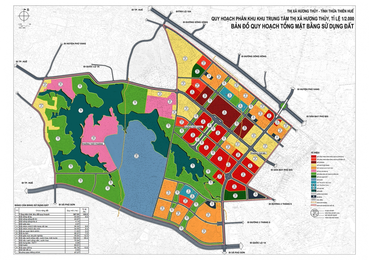
Master plan map of land use. (Source: Compilation)
1.2. Why is it necessary to check land planning?
Learning how to view planning information in the commune or looking up land zoning in general is a very important step before buying, transferring, or building real estate. This helps people proactively grasp information and minimize risks related to legal and investment matters.
Here are the reasons why land zoning should be checked:
Avoid mistakenly buying land that is subject to zoning : Looking up helps determine if the land parcel is within the zoning for roads, public works, or other projects, thereby avoiding wrong investment decisions.
Support more accurate investment decisions : When aware of the planning, buyers can assess the development potential of the area, choosing real estate with the potential for price appreciation instead of risking being in a suspended planning zone.
Prepare necessary legal procedures in advance : Planning information helps people identify in advance the relevant documents and records when buying and selling land, thereby saving time and costs for procedures.
Avoid violating land laws : Understanding the planning helps use land for the right purpose, according to regulations, limiting the risk of penalties or forced demolition of illegally constructed works.
2. How to view land-use planning information at the commune level directly
How to view land-use planning information at the commune level directly is a traditional lookup method, where people go to the Commune People's Committee to be provided with information about land-use planning in the area they are interested in. Here, the commune land official will assist people in looking up planning maps, land-use plans, and explaining information related to land parcels such as intended use, planning status, or future development orientation.
When performing direct lookups, citizens often need to provide information about the land parcel's location or related documents such as parcel number and map sheet number for more accurate checks. In some cases, planning maps may be publicly posted at the commune People's Committee headquarters for citizens to view themselves. This is a highly reliable method as it is directly confirmed by local management agencies, however, it may take longer than online lookup methods.
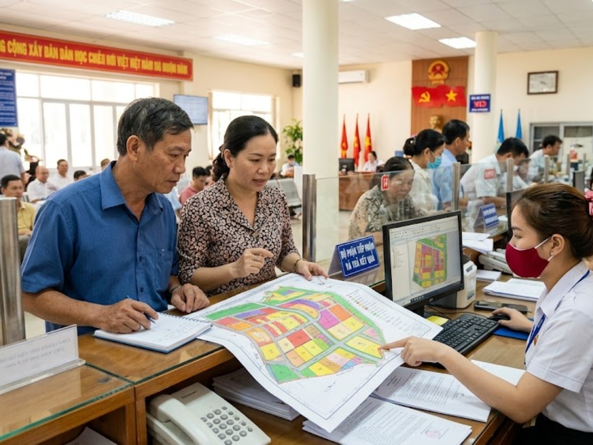
Guide to the Commune-level People's Committee to check land planning information. (Source: Collected)
3. How to view planning information online
3.1. Method 1: Search on the electronic information portal of the Provincial People's Committee
To quickly and accurately view land use planning information at the commune level online, people can directly search on the electronic portal of the Provincial People's Committee where the land parcel to be checked is located. This is the official channel, helping to provide updated land use planning and land use plan data for each locality.
The implementation process usually includes the following steps:
Step 1: Access the electronic portal of the Provincial People's Committee or the centrally-governed city People's Committee where the land to be searched is located.
Step 2: Navigate to the Land Use Planning section on the main interface of the website.
Step 3: Select the Search for zoning information function, or use the magnifying glass icon and enter the keyword “zoning” to search.
Step 4: Enter the necessary information such as: province/city, commune/ward, land parcel number, map sheet (if any).
Step 5: Click Search/Find and wait for the system to display the land use zoning results corresponding to the entered area.
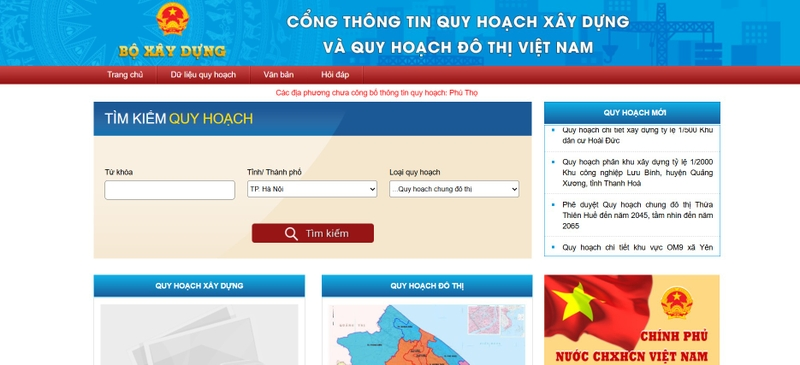
Interface of Vietnam's construction planning and urban planning portal. (Source: Collected)
Method 2: Search on planning websites
Besides the local portal, people can perform how to view planning information in the commune through specialized planning websites built or managed by state agencies. This is a popular online lookup method, helping users easily check land information without having to go directly to administrative agencies.
Some reputable planning lookup websites include:
Data website of the Ministry of Construction: http://quyhoach.xaydung.gov.vn/vn/Pages/Trangchu.aspx
City. Ha Noi: http://qhkhsdd.hanoi.gov.vn/ or https://quyhoach.hanoi.gov.vn/
City. Ho Chi Minh: https://thongtinquyhoach.hochiminhcity.gov.vn/ or https://qhkt.hochiminhcity.gov.vn/
Binh Duong Province: http://quyhoachxaydung.binhduong.gov.vn/
Dong Nai Province: https://stnmt.dongnai.gov.vn/
Hai Phong City: https://hph.mplis.gov.vn/og/KhaiThacBanDo
These websites often allow users to enter land information such as location, plot number, map sheet to check the planning status. With the information portal of the Ministry of Construction (Bo Xay Dung), users need to select province/city (tinh/thanh pho), then filter the planning type to view details of the area to be searched.
4. Information to check when viewing planning
4.1. Land type and purpose of use
When learning about how to check commune planning information , the first important factor to check is the land type and land use purpose. This information indicates which land group the parcel belongs to, such as residential land, agricultural land, commercial/service land, or land zoned for public works. Determining the correct land type helps people understand their current usage rights and the possibility of future purpose conversion.
Additionally, the land use purpose according to planning directly affects real estate value and construction potential. If the land is located in an area planned for roads, parks, or public projects, buyers need to consider carefully before transacting. Conversely, if the land is stably planned as long-term residential land, this will be a positive factor ensuring safety when investing or building a home.
4.2. Traffic and infrastructure planning
When researching zoning plans, people need to pay special attention to information about transportation and technical infrastructure around the land plot. This is an important factor determining the connectivity, accessibility, and future development potential of the area. Information such as road expansion, bridge construction, metro lines, or water supply and drainage systems can all directly affect real estate value.
Understanding infrastructure planning helps buyers avoid risks such as land being confiscated for road construction or being located in a prolonged suspended planning area. At the same time, if the area has synchronized infrastructure development planning, this becomes an opportunity to increase asset value in the future. Therefore, carefully checking this factor when reviewing planning information at the commune level is very necessary.
4.3. Planning duration and orientation
Besides land type and infrastructure, people also need to check the duration and planning orientation of the area. This information indicates which period the planning is applied, short-term or long-term, thereby helping to assess the stability of the land parcel. Areas with clear, stable planning are usually safer for residential purposes or long-term investment.
Furthermore, the planning orientation also reflects the local development strategy for the future, such as urban expansion, development of industrial parks, or new residential areas. If this factor is clearly understood, people can make more suitable decisions when buying and selling real estate. Grasping the full deadlines and planning orientation will help the lookup become more accurate and minimize legal risks during land use.

People need to check the necessary information to make more suitable decisions when buying and selling real estate. (Source: Collected)
5. Risks of not checking planning before buying land
5.1. Land subject to acquisition
When not checking planning information at the commune level before buying land, the first risk buyers may encounter is that the land parcel is subject to acquisition for public projects such as road construction, school building, or infrastructure works. In this case, the land user may have their land acquired according to state regulations, leading to relocation or handover of the land within a short period.
This not only affects land use plans but also causes financial losses if the buyer has already invested in construction or renovation on the land. Therefore, carefully checking the planning before transacting is an important step to avoid unwanted risks related to future land acquisition.
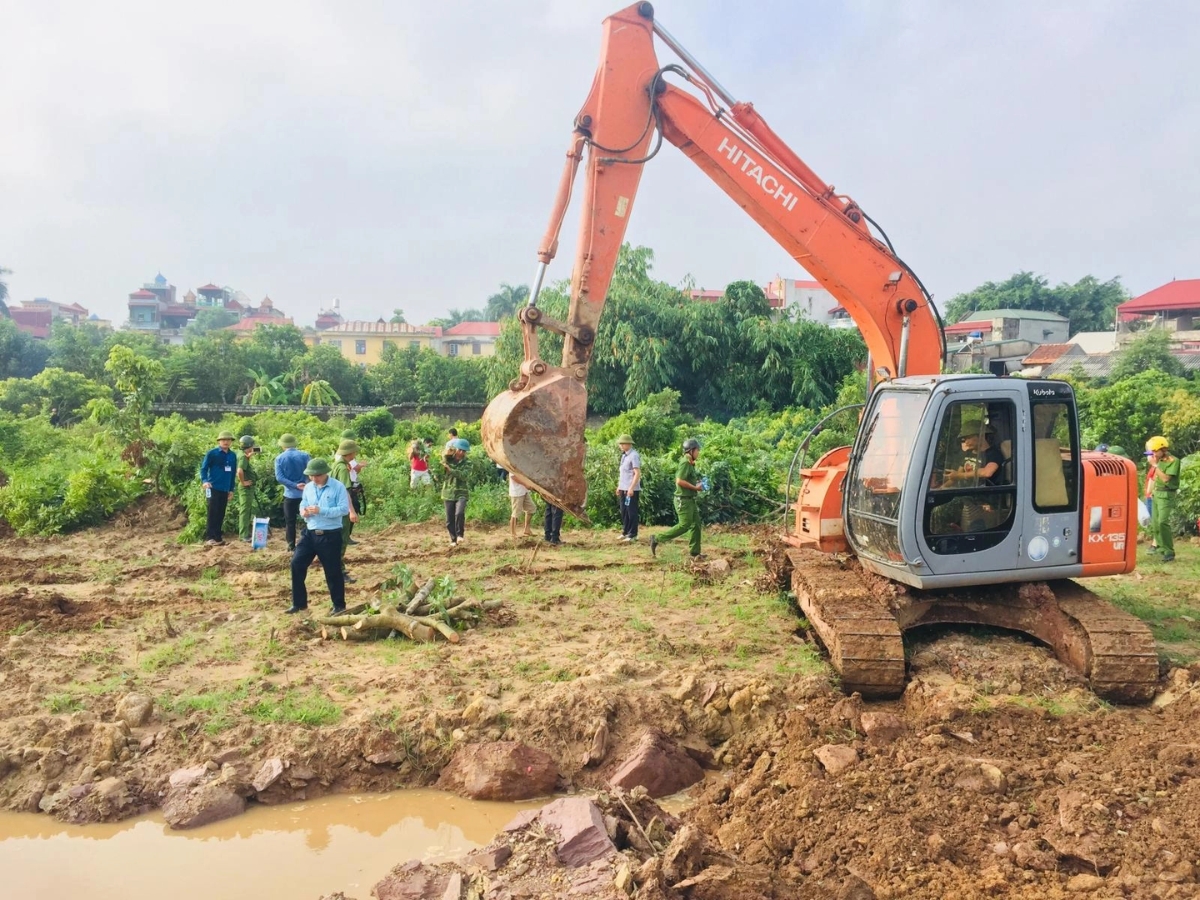
Checking planning information helps people identify areas of land subject to acquisition. (Source: Collected)
5.2. Not granted construction permits
Another common risk is that land is not granted construction permits because it is located in an unsuitable planning area. In that case, the buyer, despite owning the land, cannot build a house or other structures according to their needs, directly affecting the original intended use.
This situation often occurs when land is zoned for green space, traffic safety corridors, or undeveloped project areas. Therefore, researching the zoning before buying land helps limit the risk of restricted building rights, ensuring the land use plan proceeds as intended.
5.3. Difficulty in Resale or Asset Value Depreciation
If zoning is not thoroughly checked, buyers may face difficulties in reselling the property later. Plots of land located in stalled development zones or with unclear information tend to attract less interest, leading to low liquidity.
Furthermore, asset value can also be significantly reduced due to the hesitation of other buyers when they know the land is related to zoning. This directly affects profitability and the stability of the investment. Therefore, understanding the zoning from the outset is a crucial factor to ensure financial security when transacting real estate.
In summary, how to view planning information at the commune level is an important step to help people proactively grasp land use status and development orientation of the area before making buying, selling, or investment decisions. By knowing how to look up information directly at the Commune People's Committee (UBND xa) or through reputable online channels, buyers can minimize risks related to stalled projects, land acquisition, or denial of construction permits. Checking planning information carefully not only ensures legal safety but also contributes to improving land use efficiency and asset value in the long term.