


How to accurately and safely determine the actual land parcel boundary
Determining the actual land parcel boundaries is an important step when buying, selling, constructing, or resolving land disputes. Correctly identifying the boundary markers helps ensure legal land use rights and limit future risks.

▲Table of Contents
1. Concept of Land Parcel Boundary
A land parcel boundary is the surrounding line used to define the scope of area belonging to the right of use of a specific land parcel. According to current regulations, land parcel boundaries are formed by connected parcel edges and enclose the entire area of that land parcel, both in reality and on the cadastral map.
In practice, the boundary between adjacent plots of land can be determined based on agreement between the parties, according to land records, or according to the decision of competent state authorities. In addition, the law also recognizes boundaries that have existed stably for a long time, without dispute, or formed according to local land use customs.
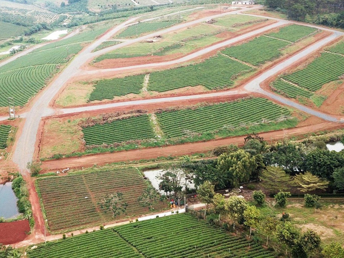
The boundary of a land parcel is the line that defines the scope and limits of a land parcel. (Source: Collected)
According to the Civil Code, landowners have the obligation to respect and maintain common boundaries between adjacent properties. Unauthorized encroachment, alteration, or destruction of land parcel boundaries can lead to disputes and legal penalties. Therefore, understanding how to determine the actual land parcel boundaries is very important when buying, selling, building, or resolving land disputes.
2. Authority to determine land parcel boundaries
According to current regulations, the surveying and re-determination of land parcel boundaries falls under the function of the Land Registration Office or its local Branch of the Land Registration Office. This is the agency responsible for managing land records, conducting land surveys, and updating information related to land use rights in accordance with legal regulations.
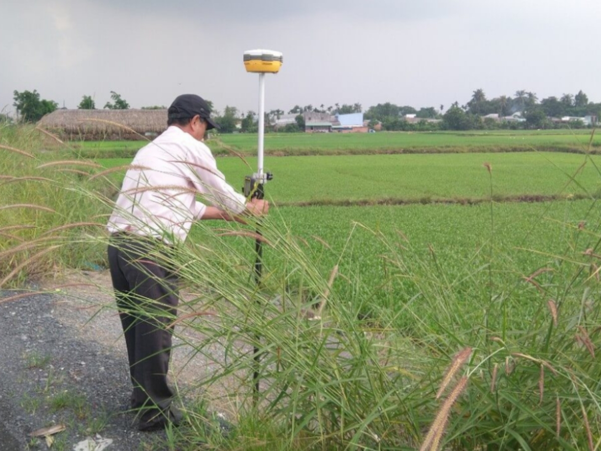
The surveying and re-determination of land parcel boundaries is the function of the Land Registration Office (Van Phong Dang Ky Dat Dai). (Source: Collected)
In the process of implementing methods for determining actual land parcel boundaries , the Land Registration Office (Van Phong Dang Ky Dat Dai) will proceed to check land records, conduct actual field surveys, and determine boundary markers between adjacent land parcels. The survey results will serve as the basis for amending land records, resolving disputes, or carrying out procedures related to land transfer, subdivision, and issuance/renewal of land use rights certificates.
Besides the functions of surveying and determining land boundaries, the Land Registration Office also performs many other tasks such as land registration, issuing Land Use Rights Certificates, updating the land database, land statistics and inventory, and providing land information to organizations and individuals who need it according to current legal regulations.
3. How to determine the actual boundaries of a land parcel
To limit disputes and ensure land use rights in accordance with legal records, land users should carefully check the boundaries of the land parcel before buying, selling, building, or carrying out related procedures. Applying the correct actual land parcel boundary determination method will help accurately determine the position, area, and scope of use of the land parcel in reality.
3.1. Comparing dimensions on the red book
One of the first important steps is to check the information about plot boundary dimensions, area, and plot map as shown on the red book or land use right certificate. Land users should compare this information with the actual situation to determine if the usage boundaries are consistent with the legal records.
In many cases, the actual area may differ due to changes in boundary markers, encroachment from construction, or errors in previous land use. Therefore, carefully checking the map and dimensions recorded on the certificate is a very necessary step before real estate transactions.
3.2. Verification of Boundary Markers and Field Markers
In practice, the boundaries between plots of land are usually determined through boundary markers or physical markers such as concrete stakes, fences, boundary walls, ditches, or the boundary lines between adjacent plots. Land users should carefully check these signs to determine the actual usage area of the plot.
In addition to observing the current situation, people should also consult with adjacent households to confirm the boundary markers in use, thereby limiting future disputes. This is an important step in the process of determining the actual land boundaries before construction or transfer.
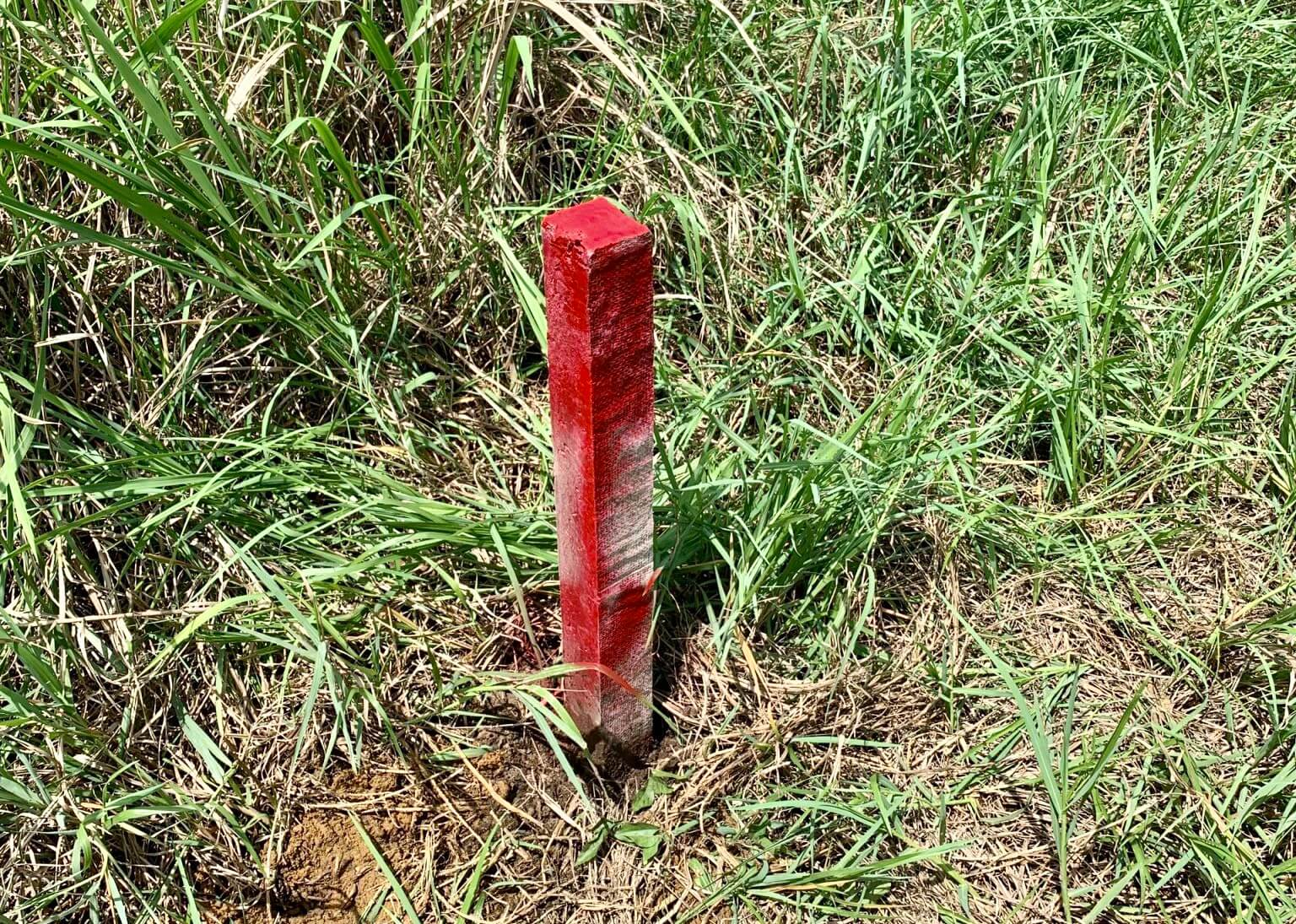
Check the land boundary markers in the field for accuracy. (Source: Collected)
3.3. Measure actual area and distance
To accurately determine land parcel boundaries, people can conduct actual measurements using specialized equipment or hire a professional surveying unit to perform them. The measurement will help determine the lengths of the parcel's sides, the land area, and the distances between boundary markers according to the current usage status.
In case of suspected discrepancies in area or boundary disputes with adjacent land parcels, re-measurement is an important basis for comparison with land records and serves as a basis for resolution according to legal regulations.
3.4. Comparison with land map and current usage
After a field inspection, land users should compare the survey results with the cadastral map and archived information at the land management agency. This comparison helps determine whether the actual boundary is consistent with State management records.
If a discrepancy is found between the current usage status and the cadastral records, people should contact the Land Registration Office (Van Phong Dang Ky Dat Dai) for guidance on checking, amending, or re-establishing boundary markers according to regulations. This will help limit disputes and ensure legal land use rights in the long term.
4. Cases prone to land boundary disputes
Boundary disputes are one of the relatively common types of land disputes occurring nowadays, especially in densely populated areas or land that has been used for a long time but has not been surveyed and clearly demarcated. Therefore, understanding how to determine the actual land parcel boundaries will help landowners proactively limit arising legal risks during the process of land use and transactions.
4.1. Boundaries lost or changed over time
After a long period of use, many boundary markers such as concrete posts, fences, boundary lines, or markers between plots of land can be damaged, moved, or lost due to the impact of weather, construction, or changes in land use status.
When boundary markers are no longer clear, adjacent households are very prone to conflicts over actual land use boundaries. This is a common cause of land boundary disputes, especially for plots of land that have been used stably for many years but have not been accurately re-surveyed.
4.2. Actual area differs from legal documents
In some cases, the actual land area may differ from the information recorded in the red book or land registry records. The cause may stem from errors in the old measurement process, changes in the current land use status, or encroachment of boundaries during the usage process.
When the actual area is found to not match the legal documents, the parties involved often arise disputes over land use rights or boundary scope between adjacent plots of land. Therefore, periodic measurement and comparison with legal records are very necessary to limit risks.
4.3. Construction encroaching on boundaries between plots
During the construction of houses, fences, or auxiliary structures, in many cases, landowners build beyond the boundaries of their plots without timely detection. This easily leads to disputes with neighboring households, especially in areas with small land plots or unclear boundaries.
To avoid boundary encroachment, people should carefully check the actual boundary markers, cross-reference with the cadastral map, and conduct measurements before commencing construction. This is an important step to ensure land use is within legal limits and to prevent future disputes.
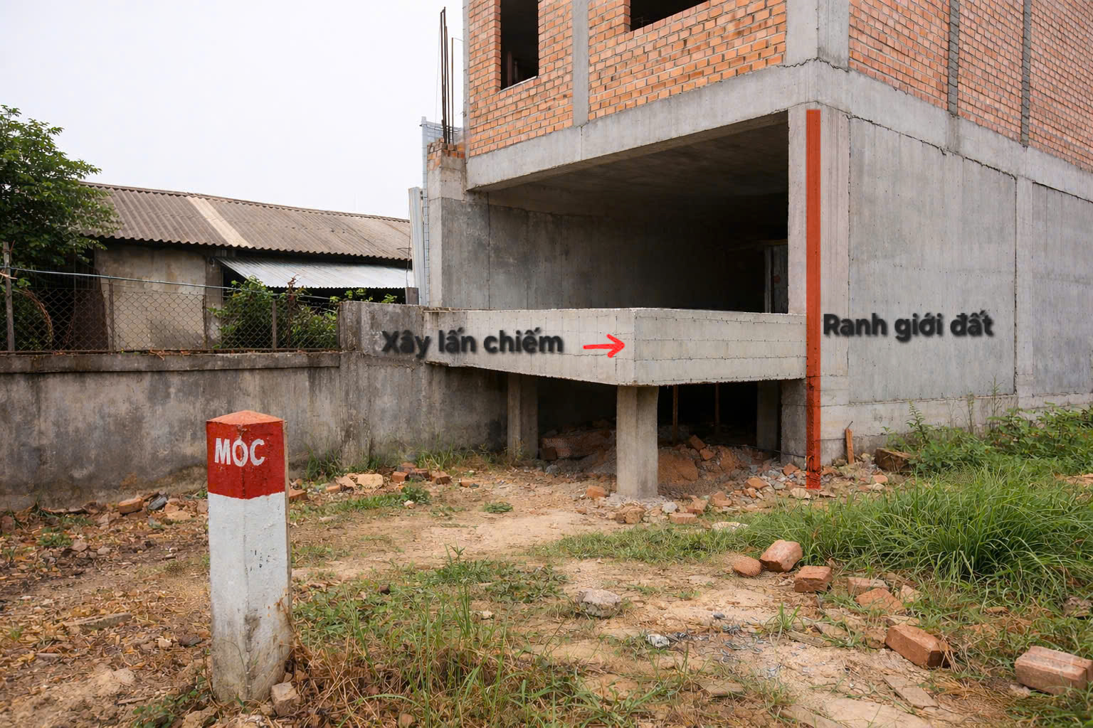
Situation of encroachment between land plots in reality. (Source: Collected)
How to handle land boundary disputes
When land boundary disputes arise, parties should prioritize negotiation and re-checking information on the land ownership certificate (sổ đỏ), cadastral maps, actual boundary markers, or survey results to determine land use boundaries. Direct discussion and re-establishing boundary markers often help limit prolonged conflicts and save time in dispute resolution.
If an agreement cannot be reached independently, land users can request the Commune-level People's Committee (UBND cấp xã) to organize dispute mediation in accordance with legal regulations. This is an important step to assist parties in re-determining actual usage boundaries and finding a suitable resolution before proceeding with subsequent legal procedures.
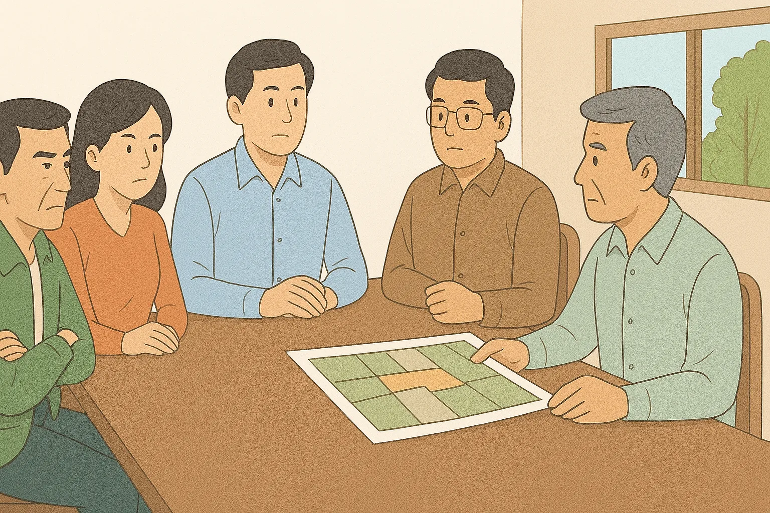
Reconciliation between parties is an option encouraged by the State. (Source: Compiled)
If mediation fails, the parties may request the Land Registration Office to survey and re-verify the boundaries of the land parcel or file a lawsuit at the competent Court to resolve the dispute. Adequate preparation of legal documents and a clear understanding of how to determine the actual boundaries of the land parcel will be an important basis to protect one's legal land use rights.
Clearly understanding how to determine the boundaries of the actual land parcel will help land users accurately check the scope of use, limit disputes with adjacent land parcels, and ensure legal rights when buying, selling, or building a home. To avoid arising risks, people should regularly compare the current usage status with land records, check actual boundary markers, and perform measurements when necessary to ensure the land parcel boundaries are clearly defined according to legal regulations.