


How to view cadastral maps of land parcels quickly and easily
How to View Land Cadastre Maps of Land Parcels Quickly and EasilyMeta: Guide on how to view land cadastre maps of land parcels: look up planning information and accurately determine land boundaries.Sapo: Viewing land cadastre maps of land parcels is an important skill that helps real estate buyers check the boundaries, area, and legal information of the land parcel....

▲Table of Contents
1. What is a cadastral map of a land parcel?
According to the Land Law 2024, a cadastral map is a map showing land parcels and related geographical objects, established according to the commune-level administrative unit or according to the district-level administrative unit for areas where commune-level administrative units are not established. This map must be confirmed by the competent state agency according to regulations.
On cadastral maps, information such as parcel numbers, map sheet numbers, area, boundaries, land types, and the location of each parcel within the management area is usually shown. Learning how to view cadastral parcel maps will make it more convenient for people in the process of looking up legal information, checking land use status, and cross-referencing data before buying, selling, or building.
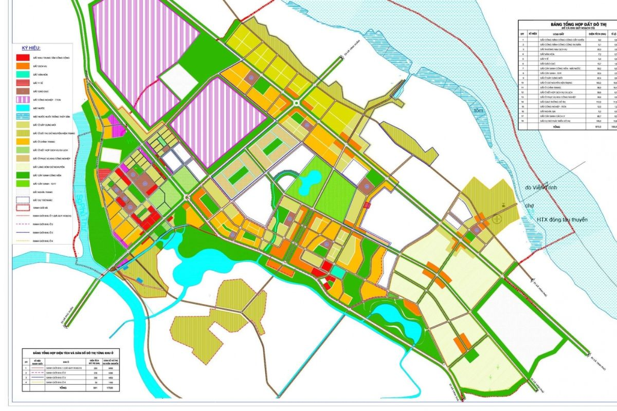
Cadastral map of a land parcel is a map showing the position, boundaries, and information of each land parcel. (Source: Collected)
2. Why is it necessary to know how to read a cadastral map of a land parcel?
Learning how to read a cadastral map of a land parcel helps people be more proactive in checking legal status, determining boundaries, and looking up real estate information before transactions or construction. This is also an important tool to help limit many risks related to disputes and land information discrepancies.
Some benefits of checking cadastral maps include:
Legal information verification: Helps compare information on the map with the Land Use Certificate to limit legal risks during real estate transactions or transfers.
Support for planning and construction: Helps accurately determine the position, boundaries, and area of the land parcel when planning construction or changing land use purposes.
Land dispute resolution: Cadastral maps are important databases supporting the handling of disputes related to boundaries, areas, or land use rights between parties.
Serving state management work: Competent authorities use cadastral maps to manage land, develop urban plans, land use plans, and socio-economic infrastructure development.
Checking cadastral maps not only helps protect the rights of individuals and organizations but also contributes to increasing transparency in the current land management and use process.
3. Current methods for looking up cadastral maps of land parcels
Currently, people can look up land information in various ways, from directly at state agencies to online lookup platforms. Understanding how to look up land maps for parcels will help the legal verification process and real estate information verification become more convenient.
3.1. Method 1: Checking at competent state agencies
This is a traditional method with high accuracy because the data is provided directly from the land management agency. People can look up land maps at units such as:
District Land Registration Office: The place where cadastral maps and records related to land use rights in the locality are stored.
Commune People's Committee: Supports providing information on the current land use status and planning in the managed area.
Provincial Land Registration Office Branch: Receives and supports cases requiring complex information lookup or related to multiple different areas.
The lookup process usually consists of the following steps:
Step 1: Prepare personal identification documents such as Citizen Identity Card (CCCD) or Identity Card (CMND) along with land parcel information including parcel number, map sheet number, or land address.
Step 2: Submit a search request at the competent authority and fulfill the fee obligation if any arises.
Step 3: Receive the search results in the form of a copy of the land map or detailed information related to the land parcel to be checked.
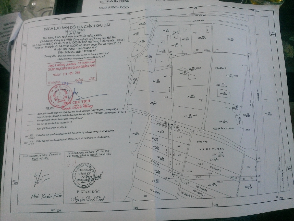
Citizens can check cadastral maps of land parcels at authorized state agencies. (Source: Compilation)
3.2. Method 2: Check online cadastral map
Currently, many localities have deployed online land lookup systems, helping people easily search for real estate information right on their phones or computers. This is one of the ways to look up cadastral maps of land parcels that many people use because it is quick and convenient.
Some popular lookup platforms currently include:
National Land Information Portal: An online public service system that supports land information lookup, deployed by state management agencies.
Provincial land information portal: Many localities such as Hanoi, Ho Chi Minh City, or Da Nang have built their own cadastral map and planning information lookup systems.
Mobile land lookup application: Some localities provide applications that support online land information lookup, such as i-HCM or similar land management applications.
The online lookup process usually consists of the following steps:
Step 1: Access the local land information portal or a suitable online lookup system.
Step 2: Enter land parcel information such as parcel number, map sheet number, or the address of the land area to be checked.
Step 3: Verify account or identity with OTP code if the system requires it.
Step 4: Monitor the displayed results and download the cadastral map or data related to the land parcel to be searched.
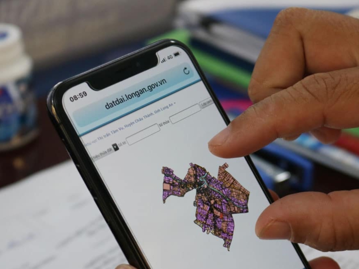
People can check cadastral maps via the online system. (Source: Collected)
4. How to view cadastral maps of land parcels
To accurately look up real estate information, people need to understand how to read the symbols and data displayed on the land registry map. Understanding how to view the land registry map for a plot of land will make the process of legal checks, boundary determination, and actual information comparison easier.
4.1. Identifying the map sheet number and plot number
The map sheet number and plot number are important pieces of information that help accurately determine the location of a property on the land registry map system. This information is usually shown on the Certificate of Land Use Rights or the land registry file for the plot of land.
When searching, users need to enter the correct map sheet number and parcel number for the system to accurately display the land location to be checked. This also serves as the basis for cross-referencing legal information and determining the actual land use status.
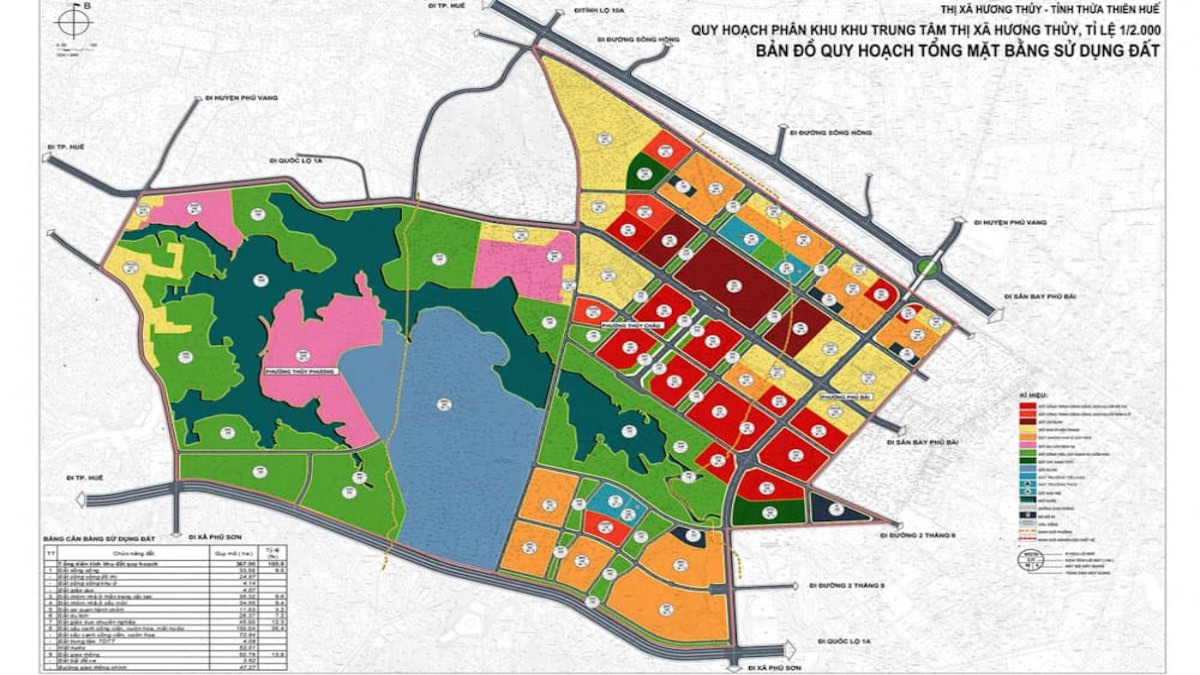
People need to correctly identify their parcel number and land plot number. (Source: Collected)
4.2. Reading symbols and information on the cadastral map
On cadastral maps, there are often many symbols related to land types, boundaries, construction works, roads, or technical boundary markers. Each symbol represents different land management information according to the standards of the specialized agency.
Besides symbols, the map also displays information such as parcel area, land use type, and surrounding adjacent locations. Understanding these symbols will help viewers read the map more accurately and reduce confusion when looking them up.
4.3. Determining boundaries and parcel dimensions
One of the important contents when viewing a cadastral map is to determine the boundaries and dimensions of the land parcel. This information helps land users check the actual area and compare it with legal records or on-site conditions.
Besides helping to determine the land's location, checking boundaries also helps limit disputes between adjacent land parcels and supports the process of construction, transfer, or subdivision later on.
5. Important information to check on the map
When learning how to view a cadastral map of a land parcel, people should not only look at the location of the land plot but also check for more information related to legal status, planning, and current land use. Carefully cross-referencing data on the map will help limit risks when buying, selling, building, or investing in real estate.
5.1. Land type and purpose of use
One of the most important pieces of information on the cadastral map is the land type and land use purpose. This information indicates whether the land parcel belongs to residential land, agricultural land, commercial/service land, or other types of land as stipulated by law.
Checking the correct land type will help buyers assess the future potential for construction, land use conversion, or exploitation of the property. This is also a factor that directly affects the legal value and selling price of the land.
5.2. Transportation routes and surrounding planning
In addition to information about the plot of land, viewers should also pay attention to the transportation system and surrounding planning shown on the land registry map. This is the basis for assessing infrastructure connectivity and the development potential of the real estate.
Through the map, users can identify existing routes, planned road expansions, or infrastructure projects expected to be implemented in the future. These factors often greatly influence usability and real estate value.
5.3. Land plot area and shape
Land plot area and shape are information that needs to be carefully checked when consulting the land registry map. Buyers should compare the area shown on the map with the information on the land use rights certificate to limit data discrepancies.
In addition to area, the shape of the land plot also affects its construction feasibility and practical exploitation. Land plots with a square or regular shape, or a favorable frontage, are usually easier to use and have higher value.
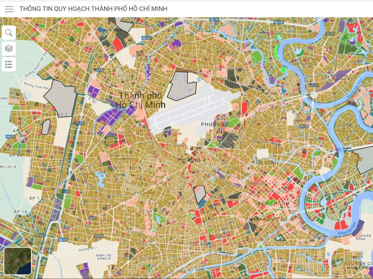
People need to carefully check the area and shape of the land parcel. (Source: Collected)
Status of overlap or boundary dispute
When viewing cadastral maps, people should also carefully check the boundaries between adjacent plots of land to detect risks of overlap or discrepancies in actual area. This is a common cause of land disputes during the process of use or sale.
If unclear information is found or there are signs of boundary overlap, buyers should further verify with the authorities or conduct actual measurements before proceeding with the transaction to limit future legal risks.
Understanding how to view cadastral maps of land parcels will help people be more proactive in the process of legal checks, determining boundaries, and assessing the current status of real estate before transactions or construction. Carefully researching information about land type, area, planning, and parcel boundaries not only helps limit disputes but also supports making safer and more suitable buying and selling decisions. To ensure high accuracy, people should combine online research with cross-referencing actual records or verifying with competent authorities when necessary.