


What is 1:5000 planning and its role in urban planning?
What is a 1:5000 scale plan is a common question when learning about urban planning and real estate investment. This is a foundational planning level, helping to orient the overall spatial development, functional zoning, and infrastructure system of an area in the long term, thereby affecting its value and development potential.

▲Table of Contents
1. Overview of 1:5000 Planning in the Urban Planning System
1.1. Concept of 1:5000 Planning
In the legal system of urban planning, 1:5000 planning is the General Planning project. This is a strategic drawing that defines administrative boundaries, directs the development of the framework infrastructure, and allocates major functional areas for an entire city or a key economic zone. According to new standards updated in 2026, the 1:5000 map not only depicts surface space but also integrates directions for underground space and multi-level safety corridors, helping management agencies gain a comprehensive view of the city's carrying capacity over the next 20-30 years.
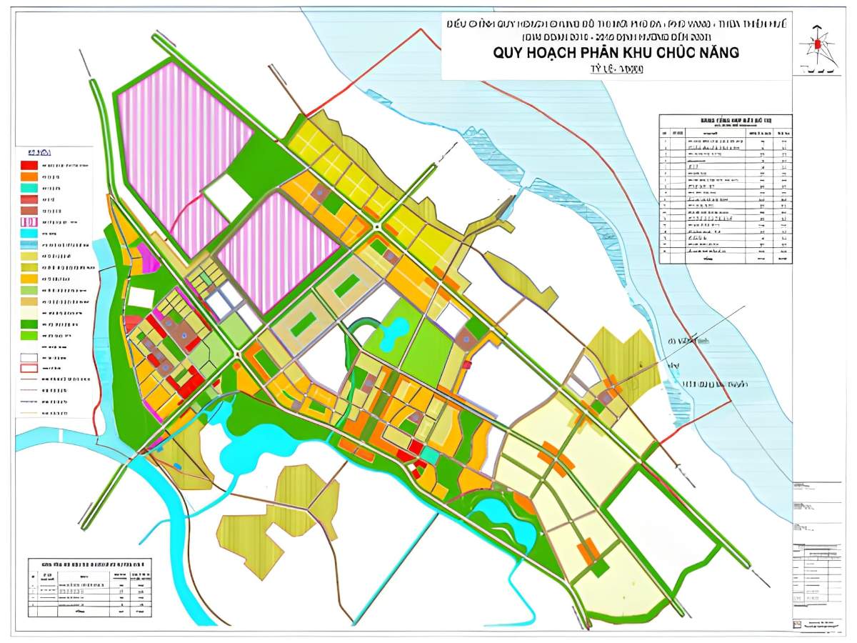
1/5000 planning is the overall orientation plan for urban spatial development. (Source: Collected)
The 1/5000 scale reflects the relationship between the map and the actual terrain, where one unit on the map corresponds to 5000 units in reality. Plans at this scale show the overall structure of an area such as urban areas, industrial zones, or special functional areas. The information presented on the map helps determine the development orientation for infrastructure, transportation, and functional areas.
1.2. Role of the 1:5000 plan in the planning system
In the process of urban development, determining what is a 1:5000 master plan is important for planning and construction management. This master plan plays a role in overall orientation for the organization of urban space, including transportation systems, residential areas, industrial zones, and public works. Thanks to this orientation, urban development can be carried out according to a long-term plan.
The 1/5000 planning also serves as a basis for implementing more detailed planning levels within the urban planning system. From this master plan, competent authorities continue to develop the 1/2000 zoning plan and the 1/500 detailed plan. Each planning level will specify the contents oriented in the general plan.
1.3. Impact on socio-economic development and real estate
In the context of urban development, what is 1:5000 planning is also directly related to the socio-economic development orientation of the area. The master plan helps identify important functional areas such as residential areas, industrial zones, commercial and service areas, and public works. These orientations form the basis for resource allocation and local economic development.
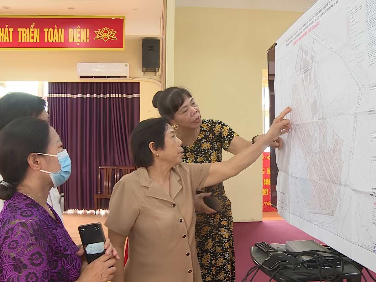
1/5000 planning orientates land allocation and socio-economic development. (Source: Compilation)
The planning document also affects the development of the infrastructure system and transportation network in the area. Main traffic routes, urban development areas, and land reserves for infrastructure are identified from the overall planning stage. As a result, the urban expansion process can proceed according to the established orientation.
2. Content presented in the 1/5000 planning document
2.1. Functional zoning and land use orientation
An important content in the master plan is the identification of functional areas in the urban space. This content helps clarify the role of each area, such as residential areas, industrial zones, commercial and service areas, and land for public works. Thanks to this, the urban development process can be organized with a clear structure.
The core content of the 1/5000 planning is to determine economic and technical indicators such as: population scale, gross construction density, and reserve land fund. Especially, closely following the Land Law 2024, the current 1/5000 planning must be synchronized with the Provincial land use planning. This helps eliminate the situation of "planning overlapping planning", ensuring that an area designated as industrial land or green park on the 1/5000 map will be strictly protected, creating a solid foundation for sustainable and transparent development of the real estate market.
In this content, what is the 1:5000 quy hoach clearly shows its role as a legal basis for approving construction investment projects. When the area has an approved master plan, specific projects will be considered based on the defined development orientation. This helps ensure consistency between projects in the area.
2.2. Technical infrastructure development orientation
The 1/5000 master plan also shows the long-term technical infrastructure development orientation for the area. Major transportation routes, arterial road systems, and inter-regional connectivity are usually determined during the master planning phase. This helps ensure connectivity between functional areas within the urban area.
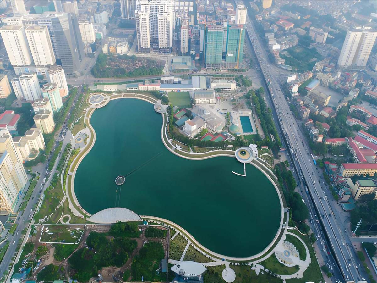
The 1/5000 master plan defines the inter-regional transportation system and technical infrastructure. (Source: Collected)
In the process of urban development, what is a 1:5000 scale plan is also reflected in the orientation of green space and water body development. Parks, lakes, and green areas are identified to improve the living environment and balance urban ecology. These elements contribute to enhancing the quality of urban space.
2.3. Population Scale and Urban Structure
Another important content of the master plan is forecasting future population size. Through forecasting methods, the plan determines the population growth rate for each development stage. This information helps guide the construction of infrastructure and public services suitable for the needs of the population.
The plan also defines the construction density and land use coefficient for each area within the urban area. These indicators help control the level of construction development and ensure a balance between built-up space and public space. Thereby, the urban structure can develop harmoniously.
In the current context of urban development, what is a 1:5000 scale plan is also associated with the formation of administrative, commercial, and service centers. These centers act as economic and social connection points for the region. The formation of functional centers enhances the city's long-term development potential.
3. The role of the 1:5000 scale plan in the real estate market
3.1. Legal basis for the investment project
The master plan also serves as the foundation for creating more detailed zoning plans. From the 1/5000 scale plan, competent authorities will implement the 1/2000 scale zoning plan to clearly define land use functions and infrastructure in each area. As a result, the project development process can be implemented step by step.
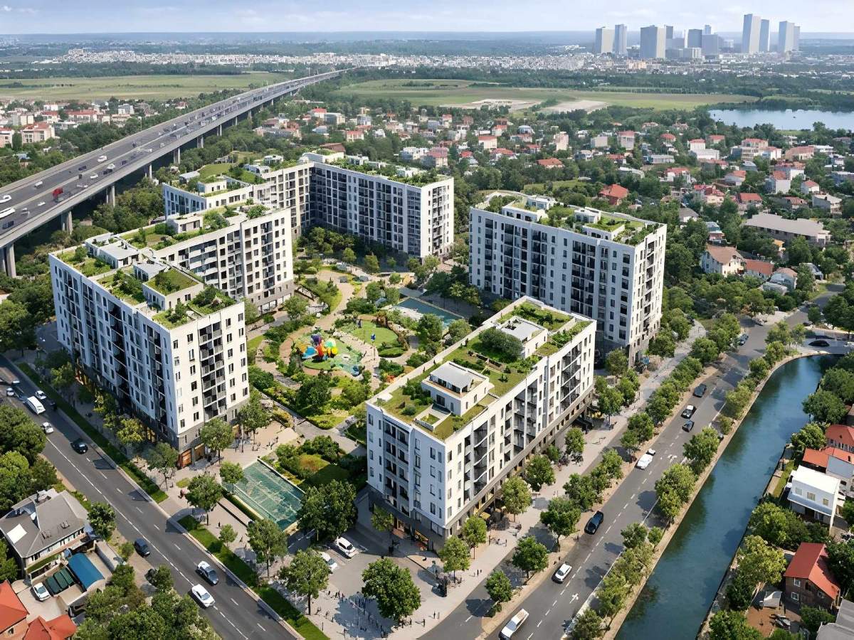
1/5000 planning is the legal basis for project investment. (Source: Collected)
In this content, what is 1/5000 planning serves as the basis for management agencies to consider and approve investment policies. When an area has a clear development orientation, investors can assess the potential and feasibility of future project implementation. This helps reduce risks in the investment process.
3.2. Impact on real estate value
Infrastructure projects such as transportation routes, industrial zones, or commercial centers are usually identified in master plans. The appearance of these projects can attract residents and economic activities to the area. As a result, the demand for housing and real estate can also increase.
From a market perspective, what is a 1:5000 master plan is also related to the liquidity of real estate. Areas with stable planning and developed infrastructure are often of greater interest to investors. This can make real estate in those areas easier to trade.
3.3. Limiting risks for buyers
Researching the master plan before transacting real estate can help limit many legal risks. Some land plots may be located in areas planned for transportation or public works. If the planning is not checked, buyers may encounter difficulties in using or constructing.
Planning information also helps assess the feasibility of real estate projects in the area. When an area has a clear development orientation for infrastructure and land use functions, the possibility of project implementation is usually higher. This helps buyers better understand the potential of the property.
From an investment perspective, 1/5000 scale planning helps identify the "backbone" of an area through major infrastructure projects such as: ring roads, Metro lines, or external transportation routes. From 2026, 1/5000 planning information will be made public on national planning information portals integrated with GIS, helping buyers avoid the risks of mistakenly buying land in safety corridors or national reserve land. Holding real estate located close to infrastructure connection points identified in the 1/5000 plan is the safest long-term investment strategy.
4. Distinguishing 1/5000 Planning from Other Planning Levels
4.1. Comparison with 1/2000 Planning
In the urban planning system, the 1/2000 zoning plan is considered the next step after the master plan. This plan details the contents oriented in the 1/5000 plan. Functional areas and infrastructure systems are more clearly defined in this phase.
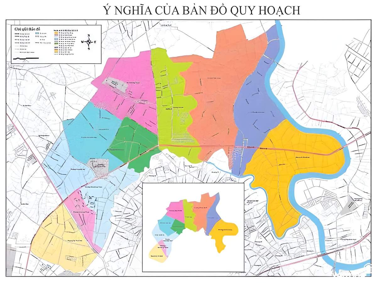
1/5000 planning provides the overall orientation, while 1/2000 specifies the functional zoning. (Source: Collected)
1/2000 planning usually shows the boundaries of land plots and land use functions within each urban subdivision. Although more detailed than the master plan, this plan does not yet specify individual specific constructions. The main objective is to divide urban space into functional areas.
The difference between the two planning levels also helps clarify what is 1/5000 planning in the urban planning system. While 1/5000 planning is for overall orientation, 1/2000 planning focuses on dividing and organizing functional areas within the city.
4.2. Comparison with 1/500 planning
Detailed Master Plan 1/500 is a level of planning with a high degree of detail within the construction planning system. This planning document specifically defines each construction work, building density, height, and internal infrastructure system. The content of the 1/500 planning usually relates to a specific construction project.
If the 1/5000 zoning plan is the "idea", then the 1/500 zoning plan is the "construction". The 1/500 detailed plan specifically defines the building locations, land parcel boundaries, and technical specifications for construction permits. An important point to note: any changes to the 1/500 plan (such as increasing building height or changing function) must ensure that they do not violate the infrastructure and population indicators that were constrained in the original 1/5000 plan. In the relationship between planning levels, what is the 1 5000 zoning plan plays the role of initial orientation for the entire area. More detailed plans such as 1/2000 and 1/500 are built based on the orientation from the master plan.
4.3. Interrelationship between planning levels
The urban planning system in Vietnam is built according to a multi-level structure to ensure consistency in urban development. The 1/5000 planning plays a role in the overall orientation of space, infrastructure, and land use of the area. From this foundation, subsequent planning levels will detail each specific content.
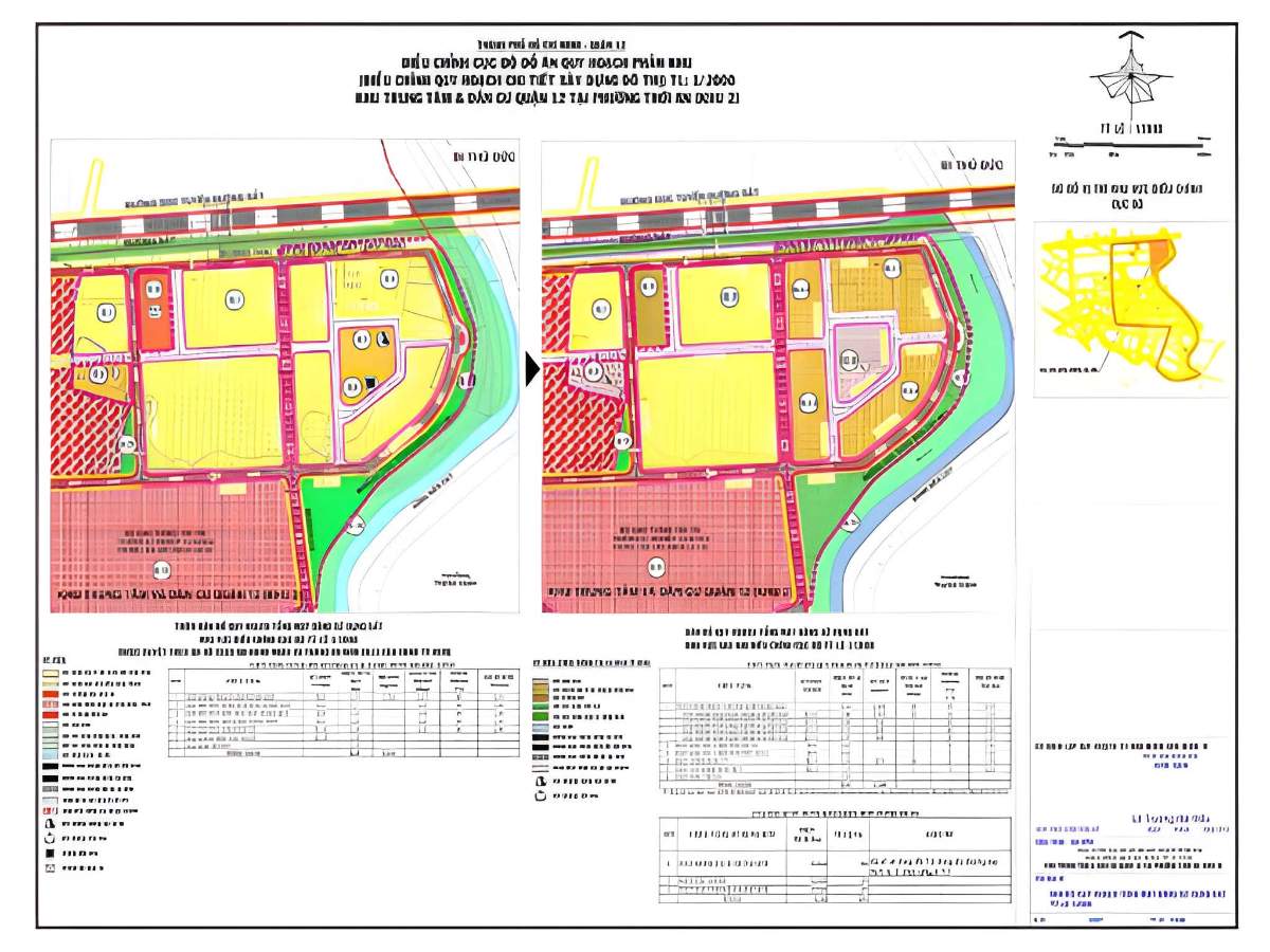
Linked planning levels help synchronous and sustainable urban development. (Source: Collected)
1/2000 scale planning continues to divide the area into functional zones and determine the infrastructure network within each subdivision. As a result, urban areas can be organized according to a reasonable structure and in line with the overall development orientation. This plan is an intermediate step between overall planning and detailed planning.
Understanding what 1:5000 planning is helps investors and real estate buyers grasp the long-term development orientation of an area. When closely following planning information and choosing projects that align with urban strategy, investment decisions will become safer and more effective.